Materials & circularity · Waterschap Zuiderzeeland · IJsselmeerdijk
MATPAS
Know what your assets are made of.
Pilot / in development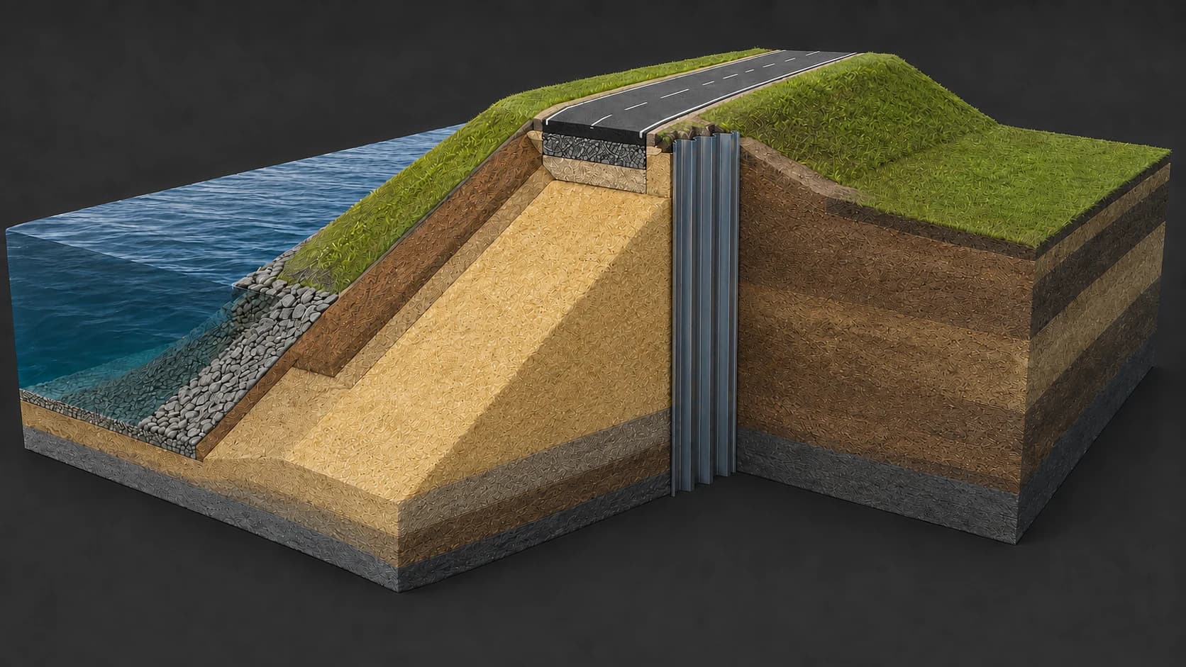
MATPAS connects a design model with an understandable materials passport. The pilot for the IJsselmeerdijk explores how objects and quantities from design information can become a spatial overview of the materials in a dike.
The question
A model contains geometry, but material information is not always classified consistently or easy to reuse. A passport needs clear material definitions, quantities and a traceable connection to the source model.
The application
- Map design objects from ACC/IFC information to material categories
- Check source data and connect quantities to dike sections
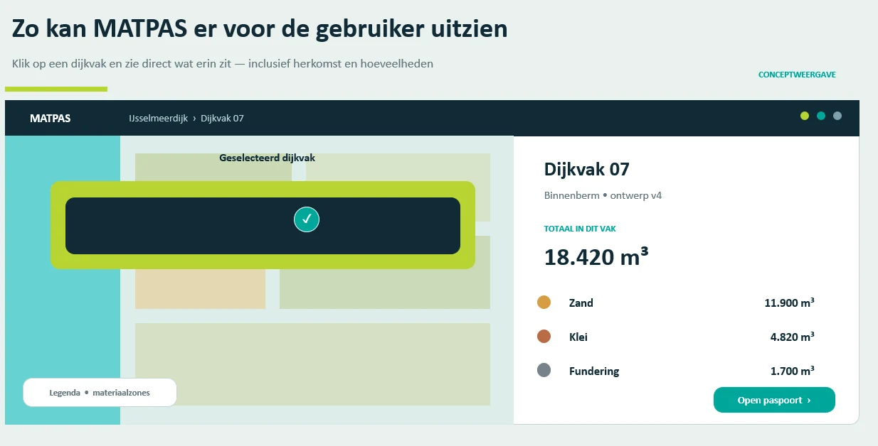
- Explore a spatial passport with model-version traceability
- Prepare Excel exports for further analysis and asset information
From question to use
- 01
Read the design data
Identify the model objects and check the available quantity information.
- 02
Map the materials
Apply agreed rules for materials such as sand, clay, asphalt and sheet piles.
- 03
Open the passport
Select a dike section to explore its materials and export the information.
Who uses it
Asset managers, designers and circularity specialists at Waterschap Zuiderzeeland.
Why it matters
The pilot aims to make design information useful for material use, future reuse and management. Circularity and environmental indicators depend on the available and validated source data.
A project from the experience of the Pecto team.