Every data source. One workspace.
We bring water safety expertise, spatial data and software together. Pecto connects map services, databases, open data and your own systems in one 3D workspace, from aerial photo to subsurface. And your AI assistant, such as Claude or ChatGPT, works right along.
- ArcGIS
- WMS
- WFS
- PostGIS
- Google 3D
- AHN
- BRO
- PDOK
- GeoJSON
- Shapefile
- MCP
Selected organisations
our team works with
- WaterschapRivierenland
- WaterschapZuiderzeeland
- STOWA
Integrations
Connect everything. Copy nothing.
Pecto reads your data where it lives: in your portal, your database, at PDOK or the BRO. Nothing is copied or converted, and what changes at the source shows up in the workspace straight away. And the other way round: edits go back to your database, ArcGIS layer or own system.
AI assistant
Your AI assistant works along in Pecto
Ask in plain language: ‘put the pipelines in the workspace’, ‘make a report of these locations’. Your AI assistant, such as Claude or ChatGPT, works directly in Pecto, with your layers, your data and your permissions.
Place and style layers
Put them in folders, colour by value, pop-ups with Arcade that are tested on a real feature first.
Update data
Read, add, change and delete the rows of a PostGIS layer, when the administrator allows it.
Make reports
A PDF per location with aerial photo, ground level from the AHN, CPTs and boreholes from the BRO, and the features of your layers.
Analyse dikes
Elevation and settlement along a line, soil build-up from the BRO, and a dike’s characteristic lines derived from the AHN.
- Sign-in with OAuth 2.1 and two-factor authentication
- The assistant sees and may do exactly what you may
- Every change as a plan first, only after your approval
- Everything recorded and reversible
How to start
- 1Add Pecto
Once, in your AI assistant: Pecto’s address as a connector.
- 2Sign in
With your own Pecto account and two-factor authentication.
- 3Just ask
In plain language. You see what will happen first, and you approve it.
The connection that matters
From field observations to informed decisions.
Engineering knowledge and digital development belong together. We connect them in tools people can actually use.
Observe & record
Bring field observations into a consistent, spatial overview.
Connect & understand
Explore maps, designs and asset information in their context.
Compare & decide
Make alternatives and assumptions clear enough to discuss.
Selected work
Expertise you can explore.
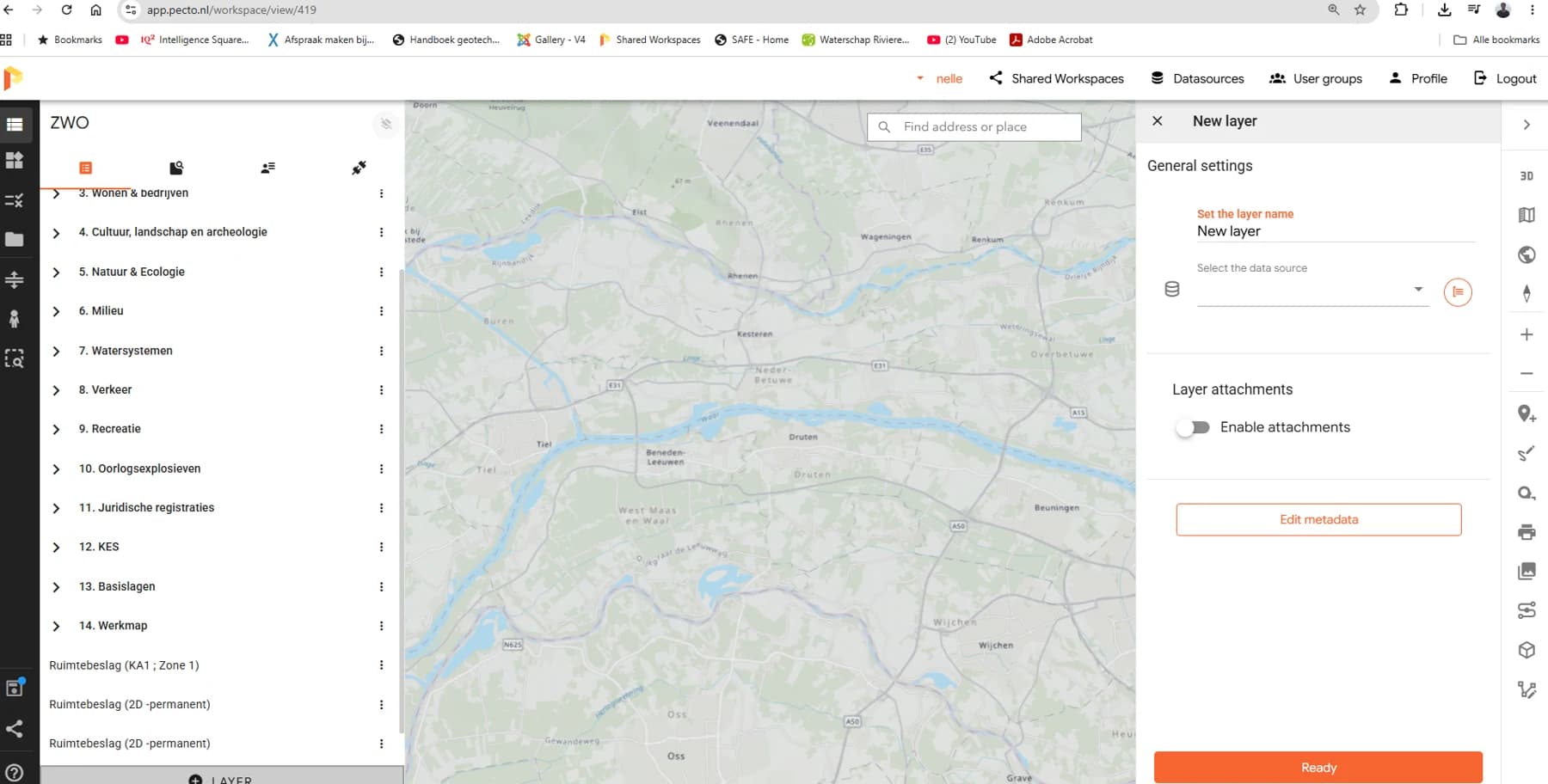
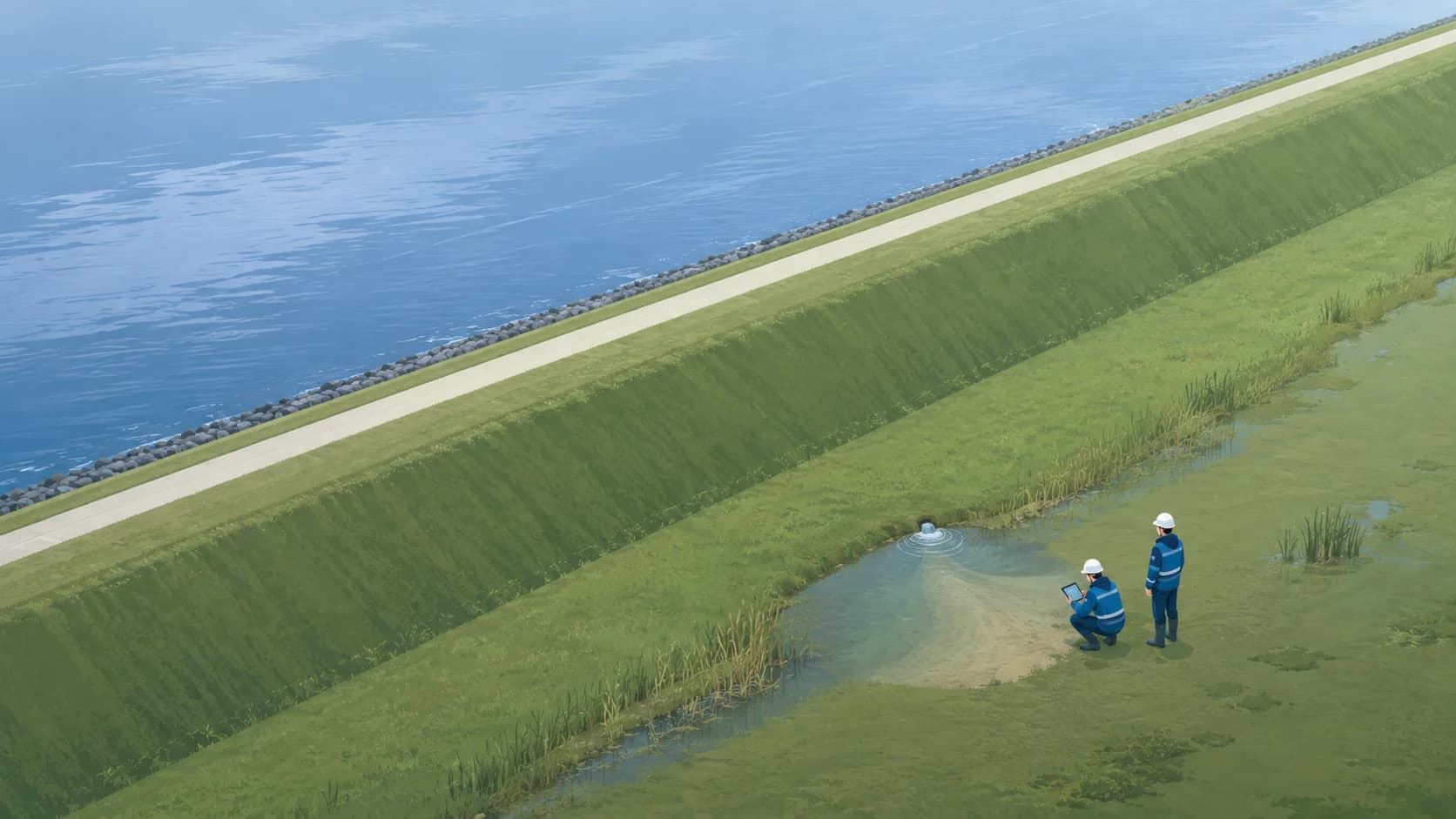
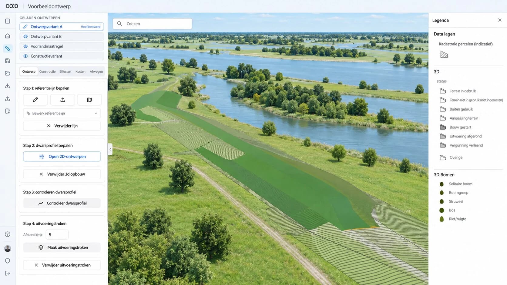
Application focus / Airports
A clearer view of flood resilience.
Connect the dike, the water and the decisions ahead. Explore a proposed approach for airport flood protection.
Explore the approach- 01Understand the assetDike geometry, condition and ground data
- 02Understand the waterWater levels, waves and forecasts
- 03Support the decisionRisk, measures and investment priorities
The people behind Pecto
Three perspectives. One connected team.
Water safety, geo-information and software development. We bring our experience together around your project.



Let’s make your data work.
Start with your question. We’ll explore the possibilities together.