Build the asset picture
Connect dike alignment, elevation, cross-sections, ground conditions and inspection information in a spatial model.
Proposed application / Airports
A proposed approach to bring flood protection assets, environmental conditions and engineering assessments into one decision-making environment.
An idea made visible
Concept visuals from our airport proposal show how asset information and engineering questions can come together.
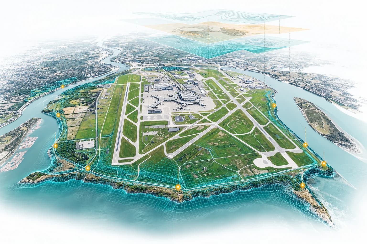
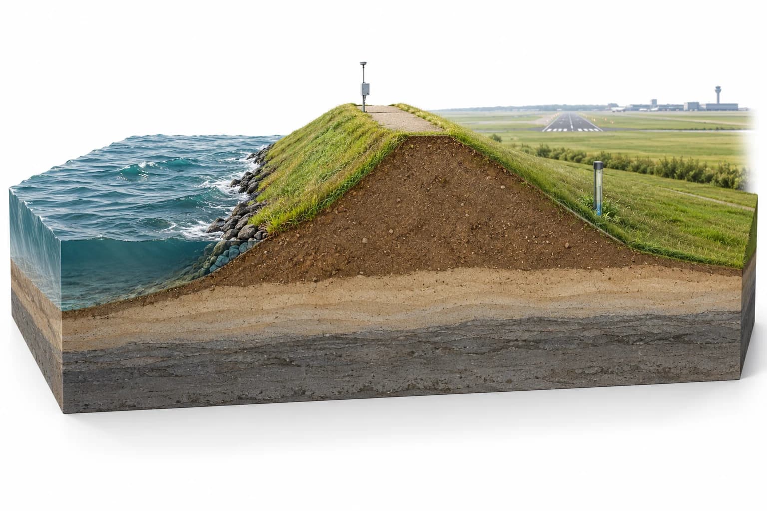
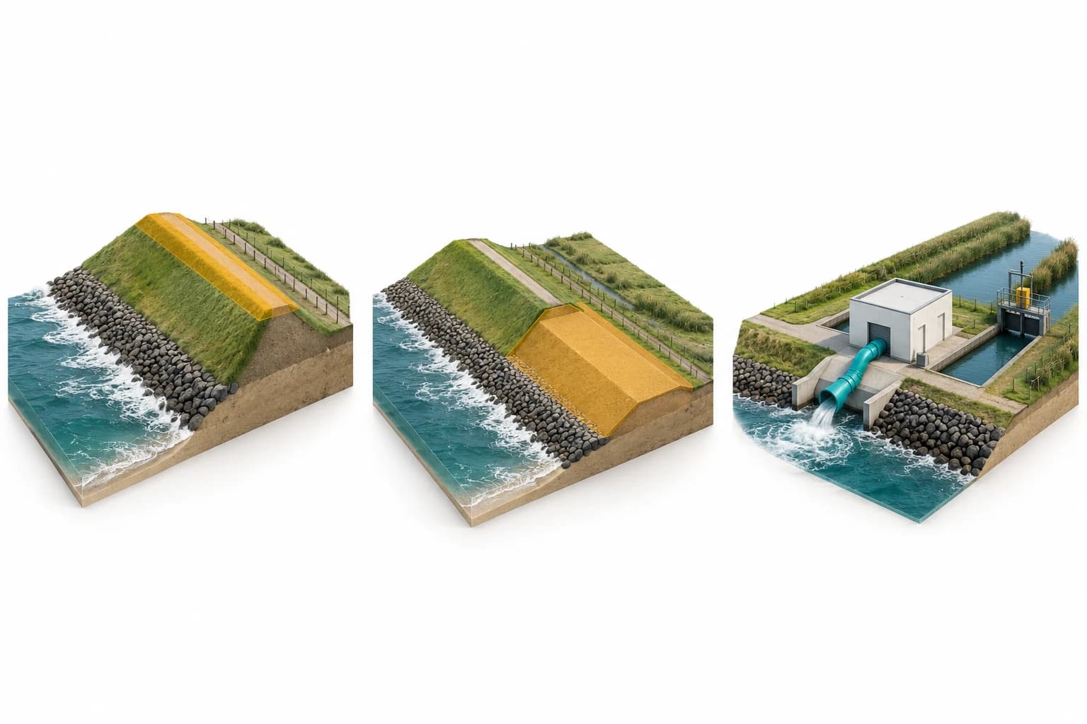
Concept illustrations, not a validated model, flood simulation or operational airport installation.
The proposed approach
Start with the data that exists. Agree on the decisions the environment should support, then develop and validate the approach together.
Connect dike alignment, elevation, cross-sections, ground conditions and inspection information in a spatial model.
Explore connections to water levels, waves and forecasts. Show source, timestamp and data quality alongside each series.
Combine hydraulic loading statistics with the resistance of the dike. Make model assumptions, failure mechanisms and uncertainty explicit.
Compare reinforcement and management scenarios using risk reduction, cost and timing to support investment discussions.
A practical first step
Select one representative dike section and one decision to support. Establish the data and validation requirements before expanding to the wider system.
Relevant team experience
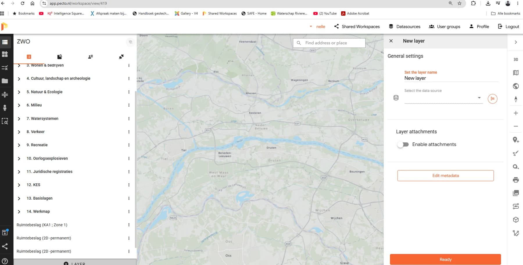 Platform screenshot
One workspace for maps, 2D/3D models and engineering information.
Spatial platform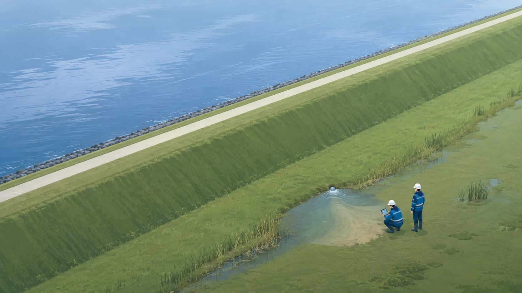 Fieldwork illustration
Record, locate and review seepage observations.
Web application in testing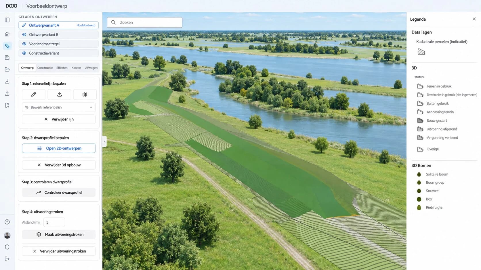 Design visual
Explore dike designs and compare alternatives.
Design explorationThis is a proposed application, not an operational airport installation. Data connections, models and risk outputs require project-specific development and validation.
Start with your question. We’ll explore the possibilities together.