Spatial platform · Pecto platform
Pecto
One shared spatial picture.
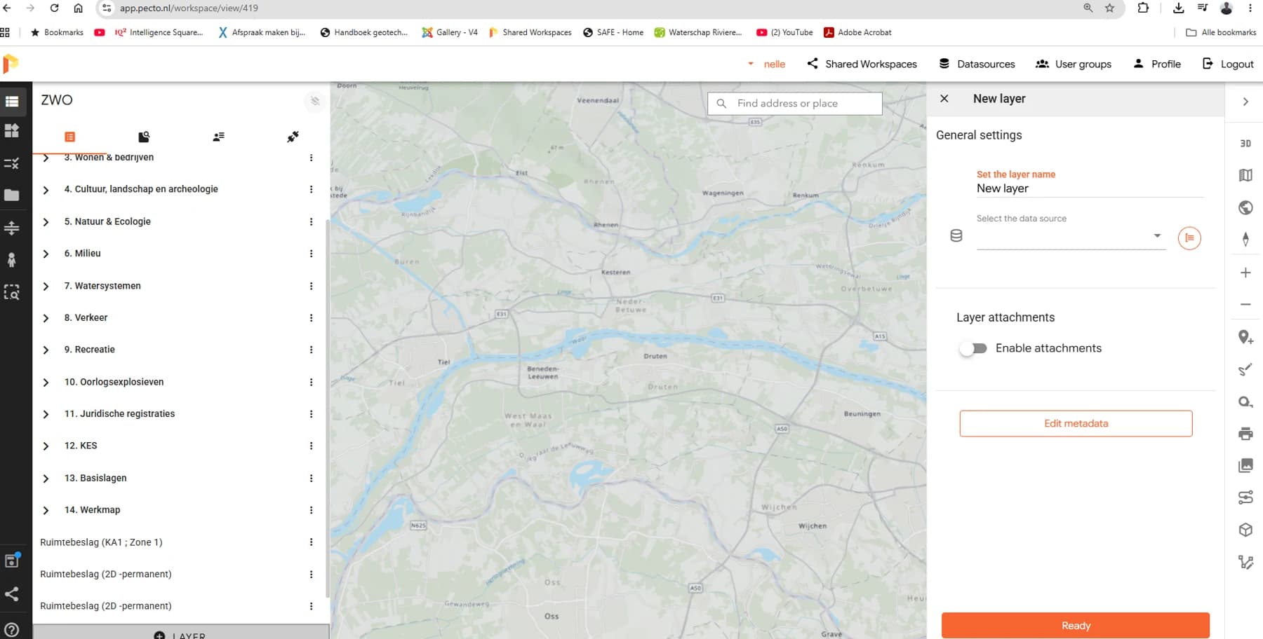
Pecto is the viewer and analysis environment that brings a project’s geographic information together. Engineers and project teams can explore themes, design layers and supporting information in the same spatial context.
The question
A dike project contains information about the water defence, homes, ecology, the subsurface and design alternatives. When these remain in separate files, it takes effort to understand where they overlap.
The application
- Thematic layers organised in a project workspace
- Viewing geographic data alongside 2D and 3D designs
- Layer information and tailored connections to other project systems
From question to use
- 01
Organise the sources
Bring relevant map layers and designs into the workspace.
- 02
Explore the context
Switch between themes and inspect how the asset and its surroundings relate.
- 03
Discuss with the same view
Use the shared spatial picture during design reviews and project discussions.
Who uses it
Engineers, GIS specialists and multidisciplinary project teams.
Why it matters
Spatial context makes information easier to interpret. Pecto provides the shared view; Dojo adds the design and comparison tools.
A project from the experience of the Pecto team.